After the flooding brought on by Typhoon Lynn, the question asked most by legislators and the public was this: Dykes have been built all along the banks of the Tamsui River; why haven't they been built along the upper reaches of the Keelung?
The flood control plan for greater Taipei, which was drawn up in 1969, focused on the Tamsui River and the lower reaches of Keelung River, Hsintien Stream, and Tahan Stream, where the land is low-lying and the population at its densest. The upper and middle reaches of the latter three rivers were not included in the plan because of their higher topography and comparatively low population at the time.
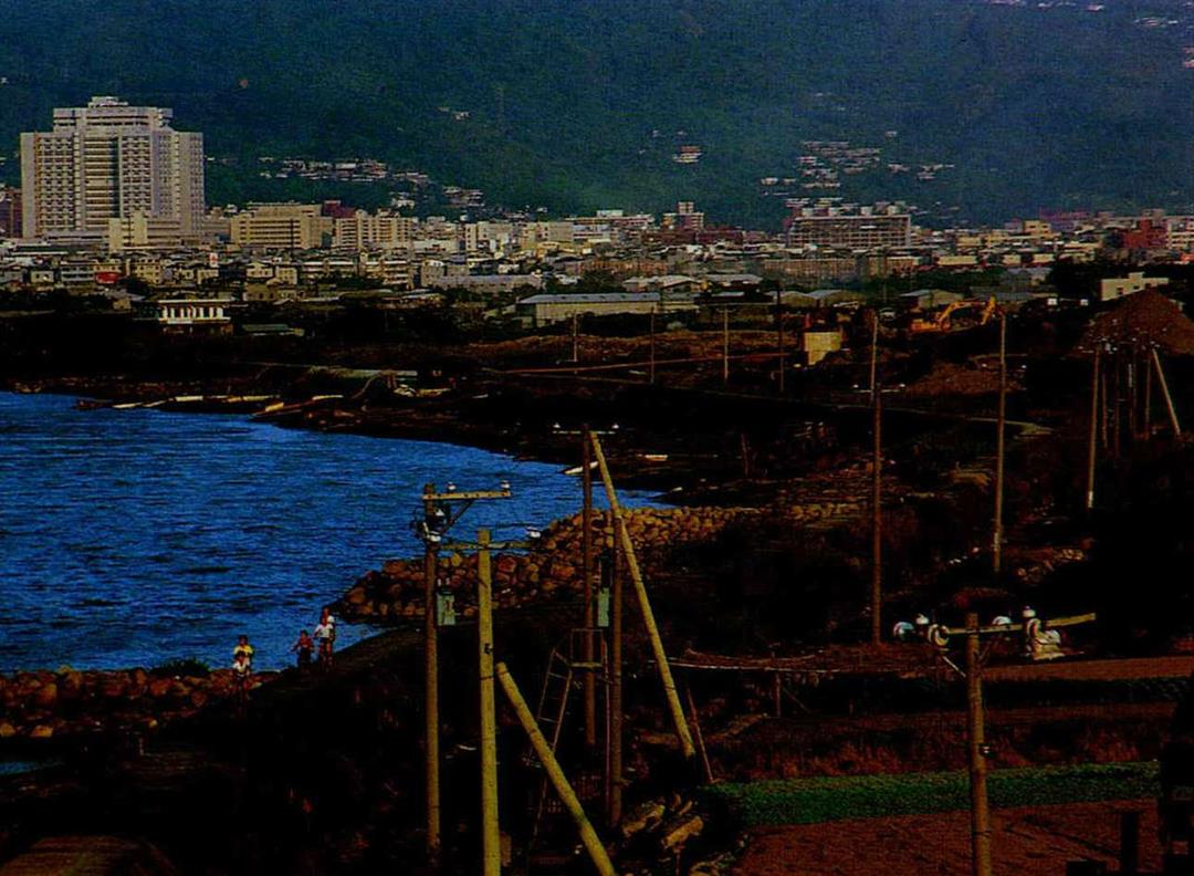
A decade or more later, with the rapid development of greater Taipei, the middle reaches of all three rivers gradually became heavily populated, especially in Nankang and Neihu, inside Taipei proper, on the middle reaches of the Keelung. The Department of Water Conservation in the Ministry of Economic Affairs approved a plan by the Taipei City government to build dykes in Nankang and Neihu as early as 1977.
The reason why work on the Neihu dyke has been so slow in getting started is related to the question of whether or not the Keelung River should be straightened out.
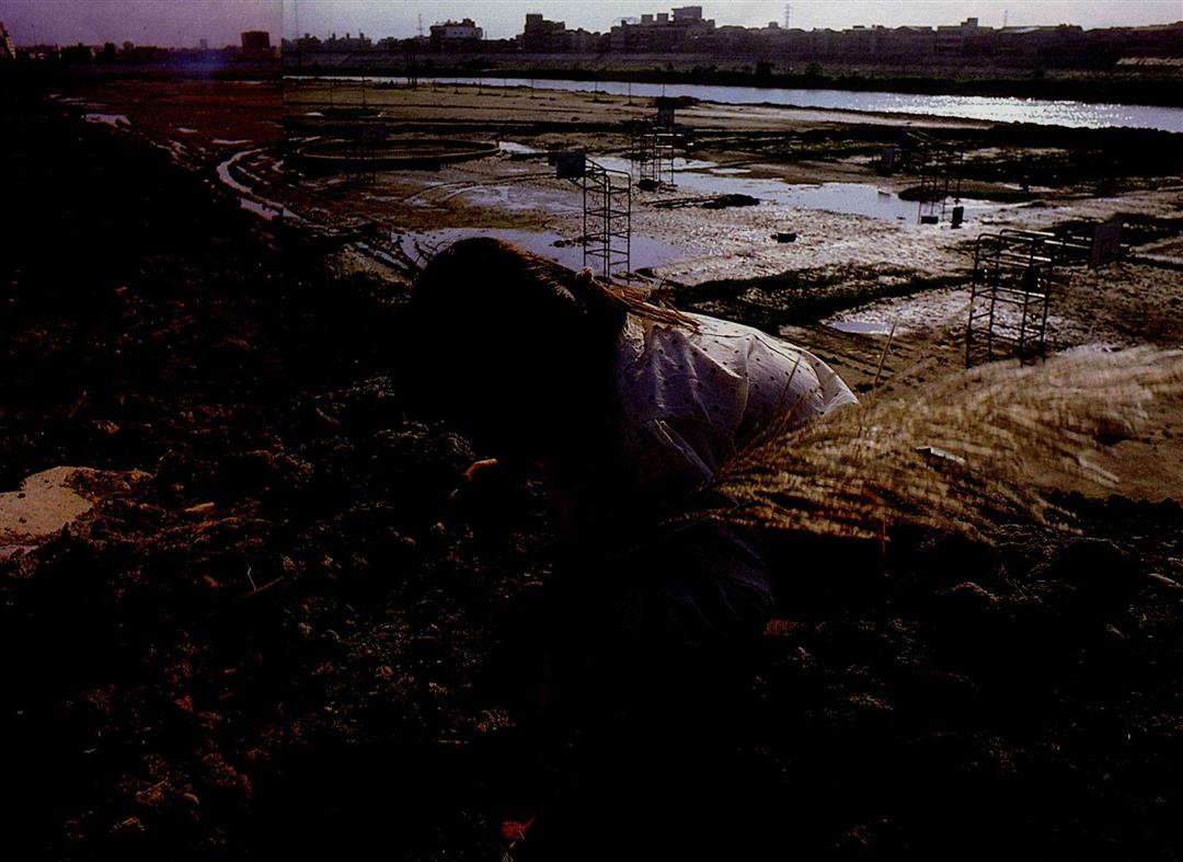
The Keelung River, which flows swiftly and carries with it a great deal of silt, has formed "new land" along its lower and middle reaches. Regulations prohibit the construction of houses and the dumping of waste in water-flow areas so that the rivers will not lose their adjusting function during the flood season. But the Keelung River hasn't had a big flood for a long time, and many people have moved into its water-flow area illegally. Some 12,000 illegal households now live in the Pinchiang area alone. Ten years ago the city government began considering whether to straighten out the Keelung River to increase the usable land in the city, and construction of the dykes has been pending that decision.
Were the Keelung River to be artificially straightened out, the question arises whether it would still be able to absorb large flows of water and what threat that might pose to the lives and property of the over 100,000 people who live downstream.
This May the Department of Public Works sent a plan for straightening the Keelung to the Department of Water Conservation in the Ministry of Economic Affairs, but the plan was returned for further evaluation of the possible effects downstream. As a result, after this year's flood many city councilmen blamed the departments for acting too slowly, thereby holding up construction of the Neihu dyke.
Whether the straightening plan should be abandoned or whether nature can be overcome and more land wrested from the river is still under debate. But the people of Neihu all hope that the city government will make a complete environmental impact study of the project and take action as quickly as possible. No matter whether the river can be straightened or whether the illegal dwellings must be removed from the water-flow area, the dyke must be built.
Flowage areas provide drainage channels for floodwater. At other times they can be used as parks or recreation areas.
Does building levees prevent floods?
@List.jpg?w=522&h=410&mode=crop&format=webp&quality=80)